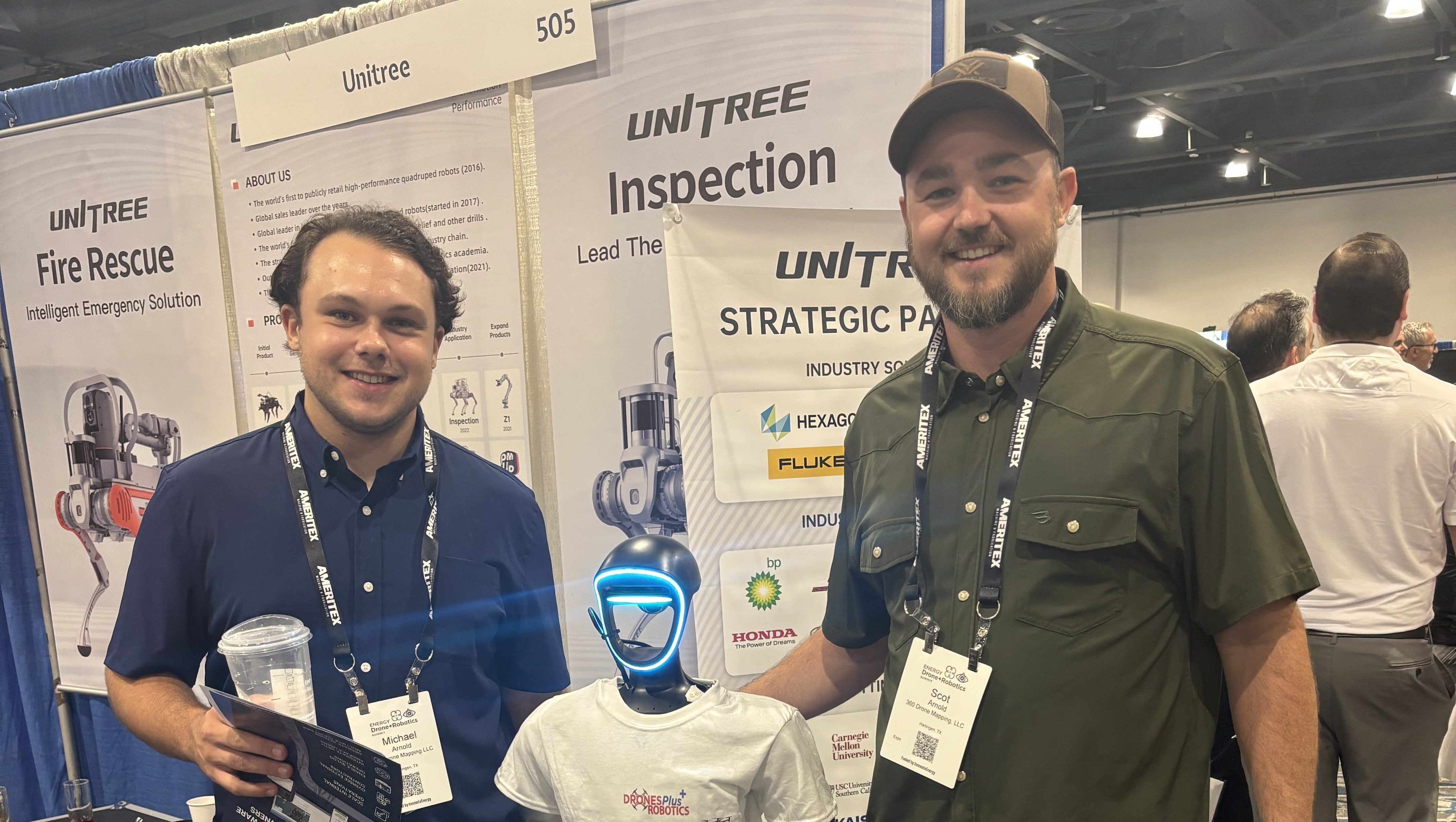
Interview by Alexander Greco with Scot Arnold
One of the most important emerging technologies right now are drones. Though, right now, drones are making headlines due to their use abroad, they’re used across a number of industries for a wide variety of functions. Drones are currently utilized across construction, land and infrastructure surveying, and agriculture, to name a few. 360 Drone Mapping is one such company who have been a part of the industrial movement changing the way we approach engineering, farming, construction and understanding the world around us.
360 Drone Mapping is an aerial surveying team based out of Texas, who use drone technology to provide information to clients. This includes everything from topography and land surveys to time lapsed data regarding project site progressions. In this interview, I got the chance to talk with Scot Arnold to hear about their use of drones and aerial mapping, and learn about how this technology is changing the world.
Me: What should people know about you and your company?

Scot: We are 360 Drone Mapping, LLC, a South Texas based company focused on helping people understand land and construction projects through accurate aerial data. Our work centers on turning real world environments into measurable information that developers, engineers, and contractors can actually use to make decisions.
Most people first think of drones as cameras in the sky, but what we provide goes much deeper than visuals. We create detailed maps, elevation models, and site documentation that help projects move forward with clarity and confidence. The goal is simple. Give clients a clear understanding of what exists today so they can plan what comes next.
Me: How did you get started?
Scot: We came from a family business background and were already familiar with project driven work and client expectations. We originally began on the visual media side doing aerial photography and video, but we quickly noticed clients were asking bigger questions. They wanted measurements, progress tracking, and reliable site information rather than just imagery.
As drone technology matured, we transitioned into mapping and modeling. We saw an opportunity to bridge the gap between traditional surveying needs and modern aerial technology. That shift shaped the company into what it is today, a data focused operation rather than a media company.
There are a number of advances occurring in industries outside the common perception—innovations not only in technology, also how we think about technology and how we apply these new technologies. 360 Drone Mapping is one of many companies at the forefront of integrating and applying new technology.
These technologies additionally include:
- 3D and 4D printing
- Generative AI
- Autonomous Robotics
- Block Chain
4D printing is currently designing smart materials and structures which react to environmental changes. This includes materials that change shape or structure from environmental factors (temperature, moisture, sunlight), materials that respond to structural damage and self-repair, reactive concrete polymers adapting the resiliency of building structures, as well as self-constructing materials and mechanical components.
Generative AI has been used to create medicines, stress test various strains of crops to find resilient crop varieties, predict market trends, generate and compare different construction designs and streamline problem detection.
Blockchain is well known for providing cryptocurrency, though is more widely used for securing transactions, digital information and identity management and securing property rights.
Many of these technologies are advancing initial assumptions, with drones being no exception.
Though we hear horror stories about a number of new technologies, our capacity to innovate has outpaced our worst fears.
Me: What is it that you do?

Scot: We specialize in drone based mapping and site analysis. Our services include photogrammetry mapping, LiDAR topographic surveys, volume calculations, and long term construction progression documentation. These deliverables help clients understand grading, drainage behavior, material quantities, and project changes over time.
At its core, our job is to transform large physical areas into clear digital models that people can analyze and act on.
Me: What are your day to day operations?
Scot: A typical project begins with understanding what decision the client needs to make. From there we plan the flight, evaluate airspace and safety considerations, and prepare the capture workflow. Field collection is followed by processing and quality control, which is where much of the real work happens.
After processing, we review accuracy, prepare deliverables, and walk clients through how to use the data. Many people are surprised to learn that flying the drone is actually the shortest part of the process. Most of the effort goes into preparation, processing, and ensuring reliability.
Me: What is crucial to success in your industry?
Scot: Accuracy and consistency are everything. Data has to be repeatable and trustworthy. Success also depends on understanding the client’s real objective. A map itself is not the goal. The goal is helping someone make a better decision about land, construction, or infrastructure.
Operational discipline is equally important. Clear workflows, strong communication, and dependable delivery build long term relationships more than anything else.
Me: Can you tell us about the drone technology you use?
Scot: We operate professional grade drone platforms equipped with RTK positioning and LiDAR sensors. RTK technology allows captured data to be precisely located, while LiDAR helps us accurately model terrain even in areas with heavy vegetation. This is especially important in regions like South Texas where ground visibility can be limited.
The technology allows us to capture terrain details that would otherwise require significant time and manpower using traditional methods.
Me: What is your background with drone technology?
Scot: Our experience developed alongside client needs. We moved from aerial visuals into technical mapping by learning positioning systems, coordinate frameworks, and data processing workflows. Over time the focus became less about flying and more about producing reliable deliverables that stand up to engineering and planning requirements.
We approach drone work as a professional discipline rather than a hobby. Good results come from process and experience, not just equipment.
Me: Is there additional technology involved beyond drones?
Scot: Absolutely. Drones are only one piece of the workflow. We also use GNSS positioning equipment, specialized processing software, and cloud based delivery systems that allow clients to access and review data efficiently. The combination of capture technology and processing tools is what turns raw flights into usable information.

Drones rely on software to find their position in relation to everything around them.
They primarily use GPS coordiantes and tracking systems, oftentimes using Global Navigation Satellite Systems or GNSS. However, the accuracy of standard GNSS measurements can be off by several meters, reducing efficacy with certain technologies.
360 Drone Mapping utilizes Real Time Kinematic GNSS, or RTK GNSS. RTK is a corrective technique utilizing a primary base, acting as a stationary node, and a rover, a moving node, communicating with each other to correct the position of standard GNSS systems, which then improves accuracy of tracking systems. While the accuracy of standard GNSS can be off by up to several meters, RTK GNSS is accurate with a margin of only 1-2 centimeters.
They then use this in conjunction with LiDAR (Light Detection and Ranging), which will scan an area with pulses of light, reflecting back the topography of the surveyed area. The LiDAR scans are then processed using photogrammetric software to create 2D and 3D renderings of the surveyed area.

Me: How has social media helped your company?
Scot: Social media has primarily helped us build trust and educate clients. Many people are unfamiliar with how mapping technology works, so showing real project examples helps them understand the value quickly. It allows potential clients to see consistent results and understand how the technology applies to real world problems.
Me: What have you learned about using social media effectively?
Scot: Clarity matters more than complexity. Showing outcomes works better than explaining technical details. Consistency also matters. Regularly sharing real projects demonstrates reliability and experience over time.
The most effective content focuses on results people can immediately understand, such as project progress or before and after comparisons.
Me: Are there other tools or software you rely on?
Scot: Yes. Processing and analysis software play a major role in our work. We produce orthomosaic maps, elevation models, point clouds, and comparison reports that integrate into engineering and construction workflows. The emphasis is always on delivering formats that clients can immediately use within their own systems.

To recap this process, 360 Drone Mapping utilizes RTK GNSS tracking to send their drones over an area, and utilize LiDAR to scan the area. These initial scans then utilize photogrammetry software to create the orthomosaic image, which is a corrected rendering of the topographical scans.
This can be adapted for a number of industries, namely construction, agriculture, conservation and land management, land development and for infrastructural surveys with industrial infrastructure and utilities sources.
While the process is similar, different industries might require different technology and software. For example, if surveying utilities, such as plumbing and underground power lines, thermal imaging and GPR (Ground Penetrating Radar) might be used. When surveying land for agriculture, multi-spectral, hyper-spectral and EC (electrical conductivity) scanners might be used for assessing material composition and water use and composition.
Me: Is there anything people should understand about your industry or starting a business?
Scot: One important lesson is that tools alone do not create success. Anyone can purchase equipment, but consistent results come from discipline, learning, and reliability.
Building a business also requires staying focused on real problems. Technology should simplify decisions, reduce uncertainty, and save time. When you stay aligned with solving those needs, growth follows naturally.
Another key takeaway is that consistency matters more than hype. Delivering quality work repeatedly builds trust, and trust ultimately drives long term success.
Thank you,
Scot Arnold
360 Drone Mapping, LLC
121 W Tyler Avenue
(956)873-3524